
Walk a Lodi Street Address Trail
A useful Lodi street directory starts with a fixed address, not a guess at a person’s name. The physical parcel is the anchor. The assessed owner and tax mailing lead answer an ownership question, while a recorded deed supplies the parties and legal description. A voter record or printed directory may add a resident clue, but neither should be treated as a complete list of people at an address.
- In the Lodi GIS Property Viewer, click “I want to,” choose “Find Address,” enter the street number and name, click “search,” and open “property information.”
- Select “Layers,” open “All Available Layers,” and choose “Planning” to see the mapped land-use and boundary context around the result.
- Save the situs address, parcel outline, and APN. Pan along the same street and note adjacent parcels, including parcels across the street, without treating proximity as a household link.
- Take each APN to the Assessor or Tax Collector, then use the current assessed owner as a starting party in the Recorder’s deed index and compare the legal description.
- Apply the lawful voter-data rules, then read a museum or library reverse directory by street to compare listed adults across earlier editions.
This order keeps a Lodi address search evidence-led. It also prevents the common mistake of copying a name from a map and calling that person a current resident.
Lodi Street Directory Records
Address-keyed records in Lodi answer different questions, so the address trail works best as a chain rather than one master roll. The parcel viewer establishes geography. The county property and deed offices establish title clues. City files add project dates, while historical directories preserve only the adults and businesses that were listed in a particular edition.
| Record Set | Keeper | What It Shows | Access |
|---|---|---|---|
| Assessment roll | San Joaquin County Assessor | APN, assessed owner, mailing lead, values and use | Property information and office/data request |
| Fee-parcel tax lookup | Tax Collector | Tax bill or delinquency details keyed to the fee parcel | Online by parcel; owner information is not shown online |
| GIS parcel map | Lodi and county viewers | Boundaries, nearby parcels, planning layers and districts | Free web maps |
| Deeds, liens and maps | Recorder-County Clerk | Indexed parties, transfers and durable legal descriptions | Portal, Stockton counter and copy request |
| Permit and code files | Lodi Community Development | Applicants, contractors, project descriptions and dates | Department request or CPRA channel |
| Reverse directories | Museum and library | Listed adults by street or address in selected editions | Reference help and onsite archive access |
| Voter information | California and San Joaquin elections offices | Only the fields released to a qualified recipient | Self-status check or restricted application |
The APN is the bridge between the GIS view, the assessment record, and the deed search. A street name alone is weaker because a parcel can have a mailing address, a physical address, and a legal description that do not match word for word.
Lodi Street GIS Planning
The Lodi GIS workflow is useful for both a single address and a slow walk along a street. After the address result opens, the Planning layer can put zoning and mapped boundaries beside the parcel outline. Pan and zoom until the lot lines are clear, then click the anchor parcel and the parcels sharing a side, rear boundary, or the opposite side of the street. Record APNs and situs labels for separate verification.
| Field Label | Type | Required | Format / Notes |
|---|---|---|---|
| I want to | Action menu | No | Choose Find Address |
| Find Address search | Text or autocomplete | Yes for address workflow | Enter street number and name; select a result |
| Search | Button | After entry | Executes the address lookup |
| Layers | Tab | No | Opens available map layers |
| All Available Layers | Dropdown | No | Choose Planning; other boundary layers vary |
| Map pan, zoom, and click | Map controls | No | Inspect adjacent parcel geography |
The San Joaquin County parcel-map and GIS page shows the county’s parcel-map access point.
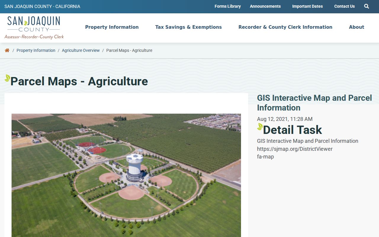
The map is a geography tool. It can reveal how a Lodi street is divided, but it does not create a household roster or prove that a person associated with a parcel is present today.
The Lodi GIS Property Viewer instructions spell out the “I want to” and “Find Address” workflow.
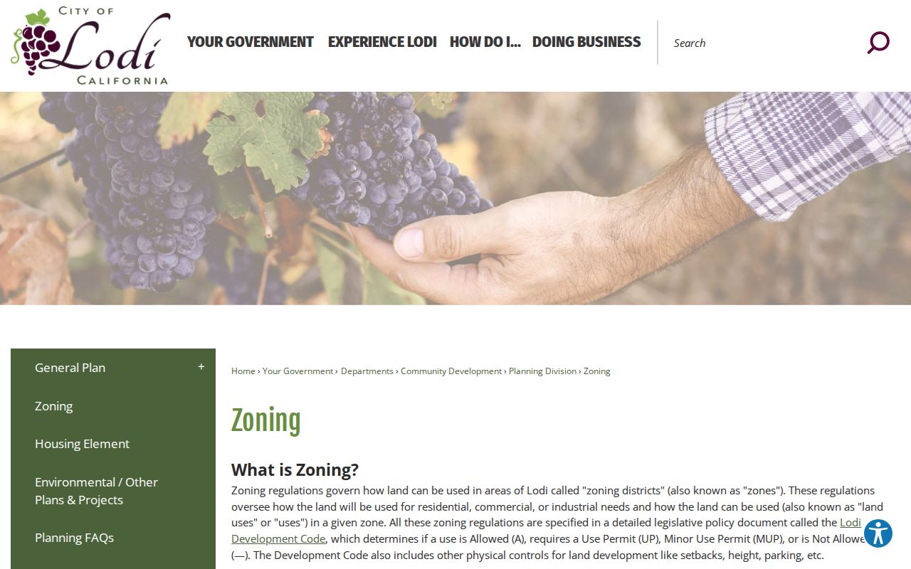
That local workflow keeps the address search tied to Lodi’s own planning map before county records are checked.
For a second view, the San Joaquin County District Viewer supplies interactive parcel and district context. Use both viewers to spot a boundary question, then use the county office or a recorded instrument for the record that controls.
Lodi Street Tax Parcel Quirk
The Lodi address trail has an important tax-site asymmetry. The Tax Collector’s online search accepts a fee parcel number and can help with a tax bill or delinquency question, but the page deliberately does not provide online owner information. That is why a street search can appear to reach a dead end after the GIS step. The Assessor’s property-information material and office channel are the better route for assessed owner, mailing lead, values, and parcel-map questions.
The San Joaquin County property-tax instructions show the fee-parcel search boundary.
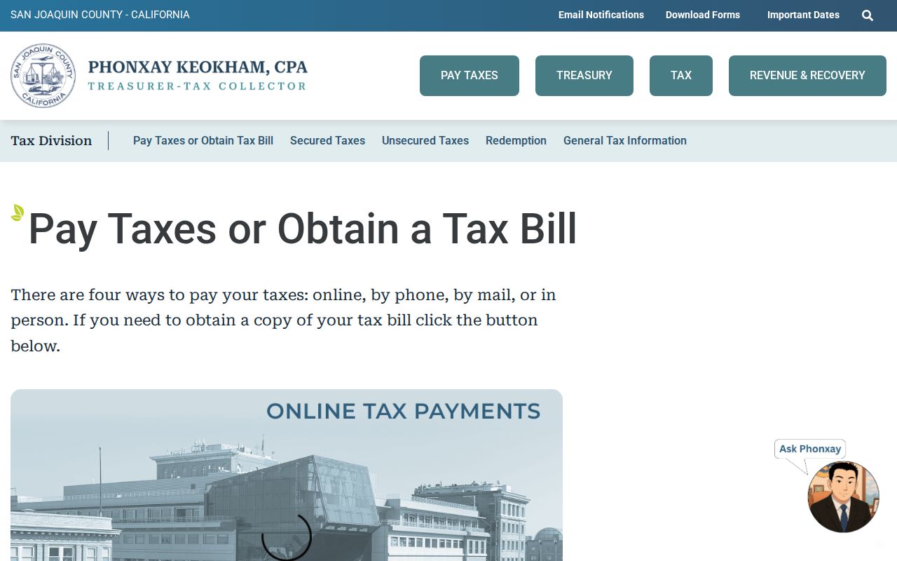
For an assessee identification question tied to a tax bill, the Tax Collector lists 209-468-2133. Assessor research remains the stronger source for ownership and mailing data, and a map copy is listed at $3. A mailing address is a contact lead, not proof of where an owner lives.
Note: Keep the fee parcel number exactly as displayed because leading zeroes and parcel formatting can affect a follow-up request.
Lodi Street Deed Chains
The San Joaquin County Recorder-County Clerk is in Stockton, the county seat, and advertises recorded-document research across 168 document types back to 1851. Its self-service portal is a starting point, while the counter and copy channels matter when an older reference, image, or certified record is needed. Recorded documents are indexed by parties and legal descriptions, not as a simple street-name directory.
| Recording date | Narrows a common name to a useful time range. |
|---|---|
| Instrument number | Identifies the recorded document for a later image or copy request. |
| Document type | May distinguish deeds, deeds of trust, liens, releases, maps, or decrees. |
| Indexed parties | Grantor is the transferring party; grantee is the receiving party. |
| Book and page | Older references may use this pair instead of a modern image link. |
| Legal description | Lot, block, subdivision, or metes-and-bounds language that can outlast a street label. |
Start with the assessed owner, locate the acquisition deed, and carry the grantor backward only when the legal description or APN also matches. A deed establishes a title interest, not physical occupancy. The index may omit a street address, and images or certified copies follow the portal or counter fee path. When an address does not appear, a book/page reference, subdivision map, or exact legal description can keep the chain moving.
The Recorder-County Clerk self-service portal is the online discovery route. Older or difficult name searches can move to the Recorder-County Clerk office at 44 N. San Joaquin St., Suite 260, Stockton, with general weekday hours listed as 8–4:30.
Lodi Street Permit Files
Permit and code records add a dated project trail to a Lodi address record. A complete address or APN and a clear date span help Community Development locate building or planning files. The material may identify an applicant, contractor, owner representative, project description, parcel, and work dates. Those names show participation in a project, not a complete list of people connected to an address.
Use the Lodi public-records and CPRA information for the online Records Portal, the online request form, Clerk email, arranged in-office inspection, or mailed and electronic copies. The City Clerk’s office is at 221 W. Pine St.; its listed phone is 209-333-6702, with Monday–Thursday hours of 7:30–5:30 and every other Friday 8–5.
Paper copies are listed at $0.10 per page plus postage. Electronic media is charged at actual media and postage cost, while email or onsite inspection can avoid paper fees. Police and fire reports go to their own departments. A zoning verification letter is a separate Planning Division product, listed with phone 209-333-6711 and a fee.
Note: A CPRA request should identify an existing record, department, address or APN, and date span rather than ask the city to create a new directory.
Lodi Reverse Street Directories
Historical reverse directories are the street-by-street layer of a Lodi address record. The San Joaquin County Historical Museum reports city and county directories spanning 1852–1980, but the span is countywide or area material and does not prove an uninterrupted annual Lodi run. Ask for a title and year inventory. Search terms such as Lodi directory, Stockton and Lodi, San Joaquin County directory, telephone directory, and criss-cross can uncover a better shelf lead.
When an edition has a street section, read the full segment and the intersecting streets instead of stopping at one name. Compare the next available edition, note a changed number or rural route, and keep the printed form of the place name. A reverse entry is a listed adult or householder clue. It can miss a recent arrival, a person without a listing, or a household that was not captured by that edition’s method.
The museum asks researchers to call or email before travel with a surname, address, and era, then request the edition, box or folder citation, rules, and copying policy. Lodi Library staff can also search local-history, telephone-book, yearbook, newspaper, obituary, and genealogy resources. The broader Lodi city directory collections explain how to read name-order and street-order material without turning a historical listing into current proof.
Lodi Postal Street Geography
A Lodi address record must separate postal geography from city jurisdiction. ZIP 95240 is used through downtown, central, east, and south Lodi; 95242 is common in west and northwest Lodi and western growth areas; 95241 is used for Lodi P.O. Box and civic mailing addresses. These are useful sorting clues, not legal neighborhood polygons. Verify a full address with the USPS ZIP lookup and a municipal boundary with GIS.
Postal Lodi can extend into unincorporated north San Joaquin County. A record that says “Lodi, CA” therefore does not by itself prove that Lodi city offices hold the relevant permit or that the parcel lies inside the incorporated boundary. Rural routes, Woodbridge references, subdivisions, and annexation-era material can also make an old street look absent from a modern search.
The place name changed from the railroad settlement Mokelumne in 1869 to Lodi in 1874, and the city incorporated in 1906. No official source verified a single citywide numbered-address renumbering year. For older parcels, compare cross streets, maps, APNs, subdivision maps, and legal descriptions instead of assuming modern number continuity.
Lodi Voter Street Myth
California voter files are not a casual Lodi street list. The Secretary of State’s status service lets a voter check the voter’s own record. It is not a public address search for another person. The returned status can include registration and voting information for the authenticated voter, but that self-service route does not authorize a street-by-street enumeration.
A full San Joaquin County file requires an in-person or mail application, an original wet signature, a current photo ID copy, a stated statutory purpose, and a security and confidentiality plan. The county form permits election, political, scholarly, journalistic, record-review, or qualified vendor purposes. It allows up to 10 specific voters for some requests, lists a $68 countywide file, and states a 7–14 business day review. Approved delivery can be encrypted email or FTP. The application is not accepted by email or fax.
The file can contain name, county, residence and mailing address, party, status, registration date, precinct, districts, and participation history showing election, date, and method, never ballot choice. Phone, email, date of birth, gender, language, and place of birth are controlled fields. Driver-license number, Social Security number, and signature are never released. Safe at Home and confidential voter protections create additional blind spots.
Use California’s voter status lookup only for the voter’s own record. Qualified file questions go to San Joaquin Registrar of Voters at 44 N. San Joaquin St., Suite 350, Stockton, 209-468-8683, using the county voter-data application.
Lodi Street Directory Privacy Limits
A careful Lodi address trail leaves gaps on purpose. Parcel, deed, permit, and directory records may identify an owner, party, applicant, or listed adult, but they do not reveal every person associated with a property. Utility customer data is not a public street list. DMV address data is restricted under the federal Driver’s Privacy Protection Act. Safe at Home participants, confidential voters, trusts and entities, recently moved people, and unlisted directory households may not appear in the expected place.
- Parcel
- A county assessment unit identified by an APN and mapped boundary.
- Situs address
- The physical location label for the parcel, distinct from a tax mailing address.
- Plat
- A recorded map that links lots and blocks to a subdivision or other legal description.
- Criss-cross directory
- A printed street-order section that connects an address with the adult or household entry listed in that edition.
The California Safe at Home information explains why a designated address can replace a participant’s residence address in government records and why an old public record may still exist. A missing name is not proof that no one is connected to a parcel, and a matched name is not proof of current presence.
Lawful personal use. Use Lodi address and street records for lawful personal research, family history, property curiosity, or civic understanding. Do not use them to stalk, harass, intimidate, or harm anyone.